The Detection Map view offers a visual and interactive interface to track the latest threat campaigns across the globe. It enhances threat visibility by mapping campaigns geographically and aligning with ATLAS telemetry.
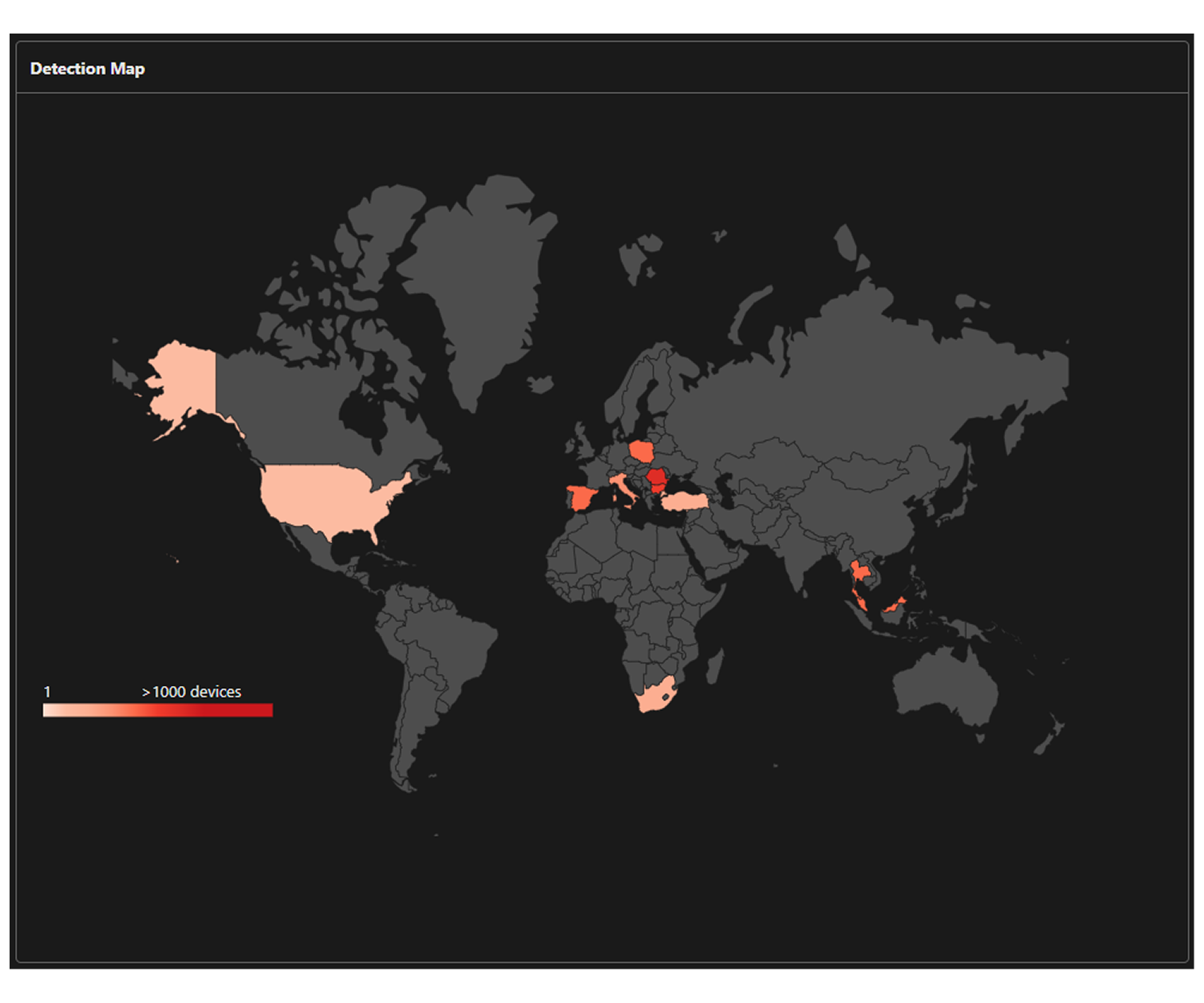
Detection Map capabilities:
Displays an interactive world map with campaign activity by country or region. The map displays global detection activity observed within the last seven days. Data older than seven days is automatically removed to ensure you are focusing on the most current threat landscape and active intelligence.
The Recent campaigns panel to the right of the map displays active and trending campaigns based on your selected location. This list includes critical details such as the number of exposed endpoints and devices with insufficient coverage in your own environment. You can explore campaign activity by specific country or region to better understand localized threats.
The platform helps users identify region-specific campaigns quickly and efficiently. It uses a color-coded legend to represent detection counts. Darker shades indicate higher levels of activity, with the darkest regions representing areas with more than 1,000 detections.
Allows users to review and analyze campaigns by applying filters for Sector, Country, and Sort By options.
Generate campaign-specific report.
Provides actionable countermeasures to strengthen your environment's preparedness and resilience against emerging attacks.